Finding the perfect setting for a story can be hard. Settings can change a story from mundane to unique. To this end, I prefer to set stories in places I’ve actually been. I believe it gives the story a greater sense of authenticity.
However, sometimes stories need to be set in places that are not easy to access. For Out of Options, I knew certain geographical elements needed to exist. There had to be mountains, and a river, preferably a large one. And it had to be in a place with significant US military presence. And I wanted it to be near a border with a friendly nation.
I spent a few days with Google maps, and some news websites, looking for a place that fit all of my criteria. It was harder than I had expected, mostly because of the geography I needed to tell the story. I settled on Iran, because even though they aren’t currently at war with the US, the current sanctions against Iran meant that US aviators found there wouldn’t exactly be welcomed.
Now that I had the perfect location, it was time to hop on a plane and explore!
Wait, no. That’s not what happened at all.
Flights to Iran are expensive. Visas are needed, and with US sanctions in place, it’s not an ideal holiday destination at present. Overall, flying halfway around the world for the sake of a story did not seem like a wise thing to do.
But I still wanted to make the setting as accurate as possible. I headed back to the Internet and the next best thing: Google Earth.
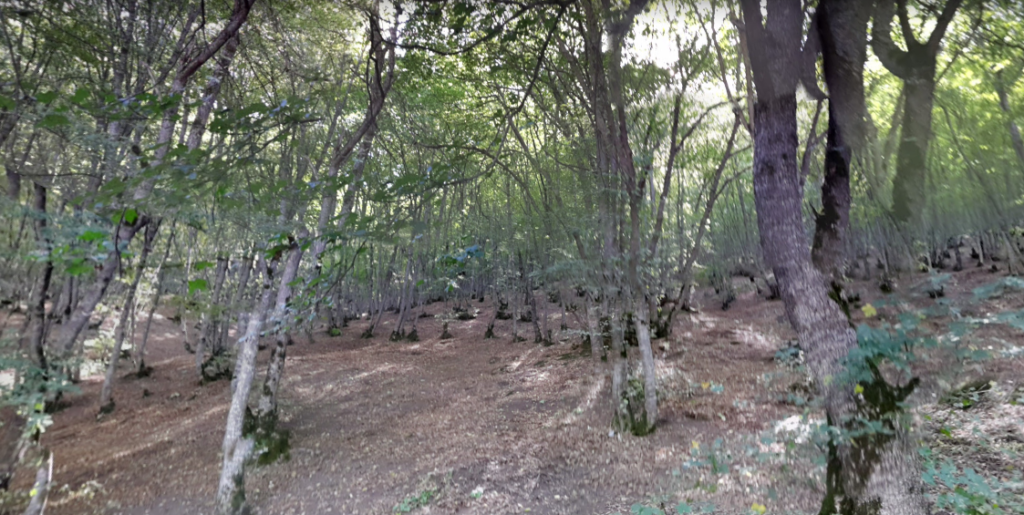
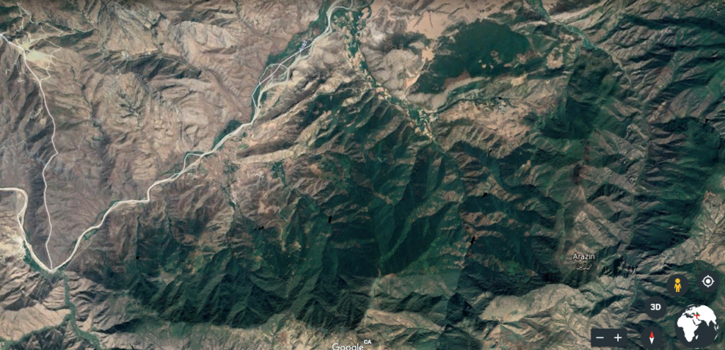
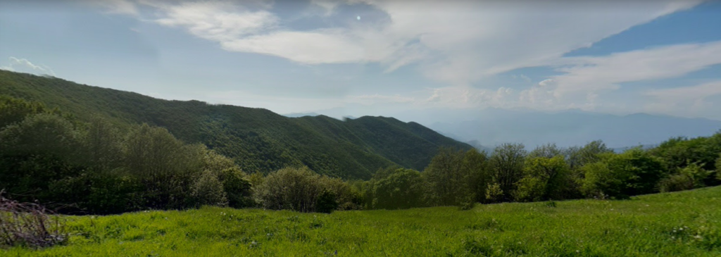
If you’ve never used it, you should try it. It’s a fun way to explore the world. (Set a timer if you do dive in, or else you’ll realize a week has passed and you hiked the entire Appalachian Trail in virtual reality.) I still had to use some artistic license with the exact location, but I’m so glad I had this tool to aid me in making my story authentic. You can click on the links above to see images from the area near where Colt and Hawk crashed.